|
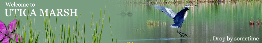
Utica Marsh is found in the floodplain of the Mohawk River just north of the
of Utica. From the arterial (the Pulaski Highway, Routes 8 and 12 running from
New Hartford in the south to the New York Thruway in the north), take Oriskany
Boulevard (Route 5A) west past the first cross-street, Schuyler Street, to the
second cross-street, Barnes Avenue, and turn right (Barnes Avenue is 0.7 miles
from the arterial). There is a sign pointing to Utica Marsh where Barnes Avenue intersects
Oriskany Boulevard. Follow Barnes Avenue over the Mohawk River and past several junk yards
to where it ends t the Barge Canal. At the end of Barnes Avenue, there is a large
parking lot off to the left as well as a small parking lot off a small access road on
the right. It is 1.1 miles from Oriskany Boulevard to the Parking lots at the end of
Barnes Avenue. The main trail from the parking lot on the right leads to the observation tower.
Much before the Barge Canal and immediately after most of the junk yards (0.4 miles from Oriskany
Boulevard), there is a dirt road off to the right from Barnes Avenue, labeled Dousharm Rd., which
leads to the pavilion part of Utica Marsh. |